

Draw the routes of the world's cargo ships on a map and they do not spread across the oceans. They bunch. They thread through a handful of straits and canals, some narrower than a large city, where a grounding, a storm or an attack can hold up goods worth billions within hours. By the rough count of our Chokepoint Tracker, about a third of seaborne trade by value passes through at least one of the seven places in this piece.
This is the opening story of Issue 01. It is a tour of the narrows: what moves through each one, what tends to go wrong there, and what shipowners do when one of them closes. The figures are approximate, as most figures about shipping are, and we say where they come from.
Why the narrows matter
A ship's route is a trade-off between distance, fuel, time and risk. Most of the time a chokepoint is simply the shortest line. Close it and the alternative is rarely a little longer. It tends to be much longer: another ocean, a different cape, a week or two of fuel and charter hire.
"The market prices chokepoints like insurance nobody buys until the house is on fire," said Hana Soriano, head of routing research at Kestrel Marine Analytics, a Singapore consultancy that advises tanker and container operators. "For years they cost nothing. Then for a month they are the only thing anyone talks about."
Malacca
The Strait of Malacca runs for about 800 kilometres between the Malay Peninsula and Sumatra. At its southern end, off Singapore, the deep-water channel narrows to under three kilometres. Much of the oil and container traffic between the Indian Ocean and East Asia goes through it. Our tracker counts something like 200 large vessels a day, a figure that moves with the season and with how you define large.
The risks there are ordinary ones made serious by density: collisions, groundings in the shallow approaches, smoke haze from inland fires that cuts visibility to a few hundred metres. The alternatives, the Sunda and Lombok straits through Indonesia, add one to three days to most voyages.
Hormuz
The Strait of Hormuz links the Gulf to the Arabian Sea. It is about 40 kilometres wide at its narrowest, but the inbound and outbound shipping lanes inside it are each only a few kilometres across. By most estimates something like a fifth of the oil traded by sea passes through, along with a large share of the world's liquefied natural gas.
Hormuz is the chokepoint with the fewest alternatives. A few pipelines can carry some crude overland to ports outside the strait, but nothing close to the volume of the tanker lanes. When tension rises in the region, the first signal usually comes from war-risk insurance premiums, which our energy desk follows on the Tanker Map.
Bab el-Mandeb and Suez
These two work as a pair. Bab el-Mandeb, about 30 kilometres wide between the Arabian Peninsula and the Horn of Africa, is the southern door to the Red Sea. The Suez Canal is the northern one. A ship on the short route between Asia and Europe uses both, and in a normal year our tracker estimates that 12–15 per cent of world trade by volume goes that way.
The strait
In periods when security in the southern Red Sea has deteriorated, container lines have sent their ships around the Cape of Good Hope instead. On an Asia to North Europe loop, the Break Freight Index's routing model puts the detour at roughly 3,500 nautical miles and ten to fourteen days. A weekly service then needs two or three more ships to keep its rhythm, and that extra demand for tonnage is what pushes freight rates up so quickly.
The canal
The canal has no locks and little width to spare. A single ship aground across the channel can shut it for days, and the queue at either end takes longer to clear than the ship took to refloat. Owners watch the wind forecasts for the canal zone the way farmers watch for frost.
Panama
The Panama Canal is the chokepoint made of fresh water. Its locks lift ships about 26 metres to Gatun Lake and lower them again on the far side, and every transit sends millions of litres of lake water out to sea. In a dry year the lake falls, and the canal has to limit how deep ships may sit in the water or how many may pass each day.
That makes the canal's capacity a weather story. Our shipping desk explains how owners plan around it in When the Lake Runs Low. The alternatives are the long way round South America, the Suez route for some Asia to US East Coast trades, or rail across the United States from the West Coast ports.
Bosporus
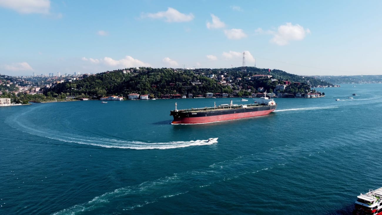
The Bosporus runs through the middle of Istanbul, a city of roughly 16 million people. At its narrowest it is about 700 metres wide, with sharp bends where ships turn hard across strong surface currents. With the Dardanelles, it is the Black Sea's only exit to the Mediterranean, so grain, oil and steel from every country on that sea pass under its bridges.
Captain Serkan Aydemir, a pilot on the strait for 22 years, describes the sharpest bend as a turn made with the current pushing the ship towards the shore. "You can see people eating breakfast on their balconies," he said. "They stopped looking up a long time ago."
Dover
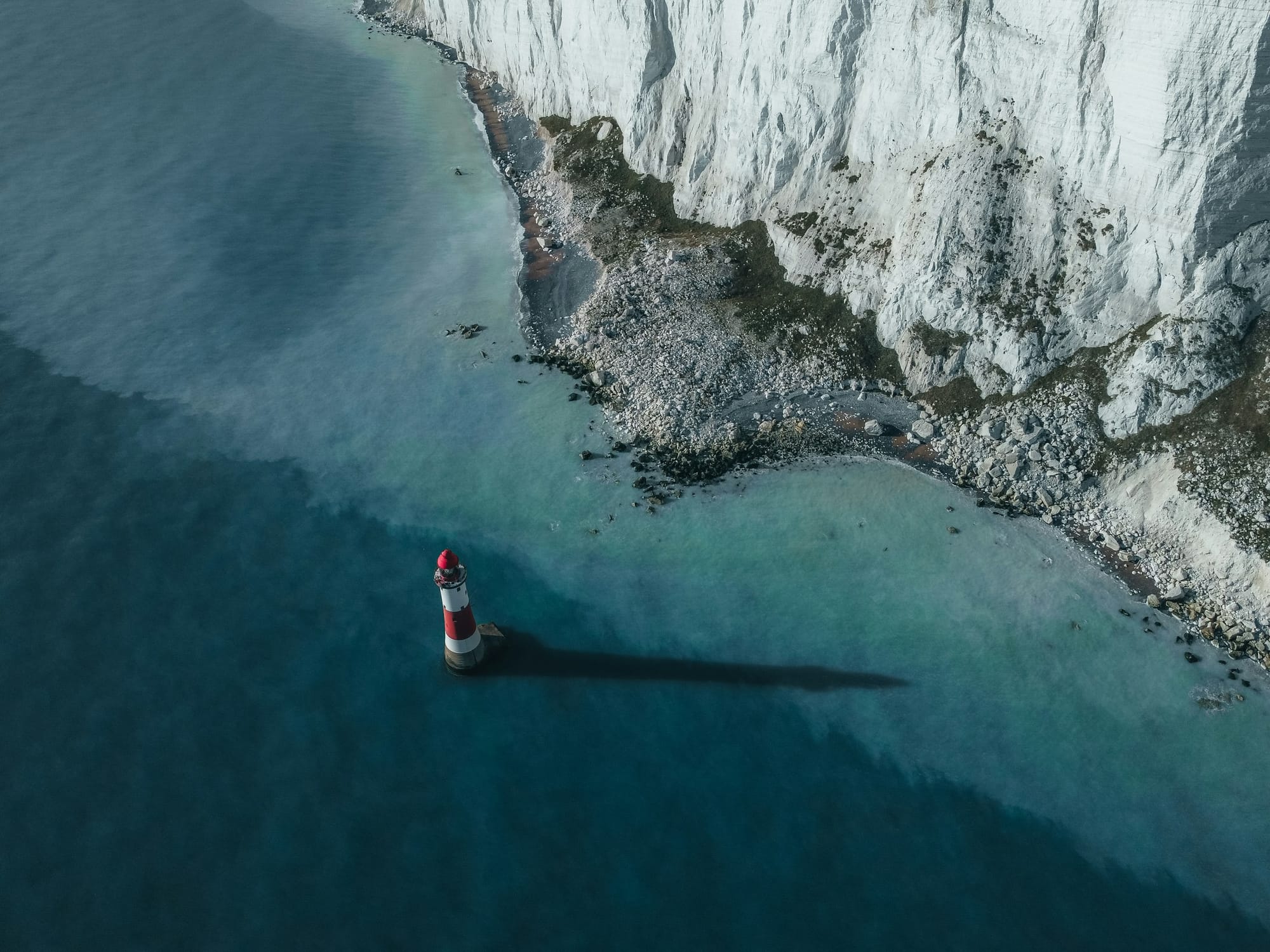
The Strait of Dover is the busiest of the seven by count. Several hundred commercial ships pass through on an average day, by our tracker's count, with ferries crossing at right angles to the flow. The traffic is split into one lane for each direction, with a separation zone between them, and it is watched from coastguard stations on both shores.
Dover rarely closes. Its risk is fog, congestion and the sheer number of close encounters in a small space. Our live blog from the fog on the Elbe approach shows how quickly a queue of ships builds when visibility goes, even without a narrow strait to squeeze them.
When one closes
A reroute spreads its cost across the whole system. Ships spend longer at sea, so fewer are available. Charter rates rise, and ports at the end of the long route receive cargo in bunches rather than in a steady flow. Soriano's team estimates that a two-week closure of any one of the big four (Malacca, Hormuz, Suez or Panama) takes two to three months to work through the schedules.
A chokepoint closes in an hour and reopens over a quarter.
Owners hedge in small ways. Some keep a ship or two in reserve. Many now write clauses into charters that settle in advance who pays for a diversion. Cargo owners with a choice split their volumes between routes, accepting a higher average cost in exchange for a smaller worst case. Box NRVU 418220-7, whose voyage we followed for ninety days, passed through three of the places in this piece.





Discussion